GeoChange Map Showcase
The W.E. Upjohn Center for the Study of Geographical Change at Western Michigan University has a variety of maps available for purchase, you can also download them on your mobile device using AvenzaMaps. See some of our most popular maps below.
our favorite Geochange maps from different states
By clicking on each thumbnail, you will be able to see a small, low quality center section of the map.
-

Powell; TX—Geochange Map 1958-2012
-

Middle Point; NV, AZ—GeoChange Map 1973-2010
-

Tuckernuck Island; MA—GeoChange Map 1970-2012
-

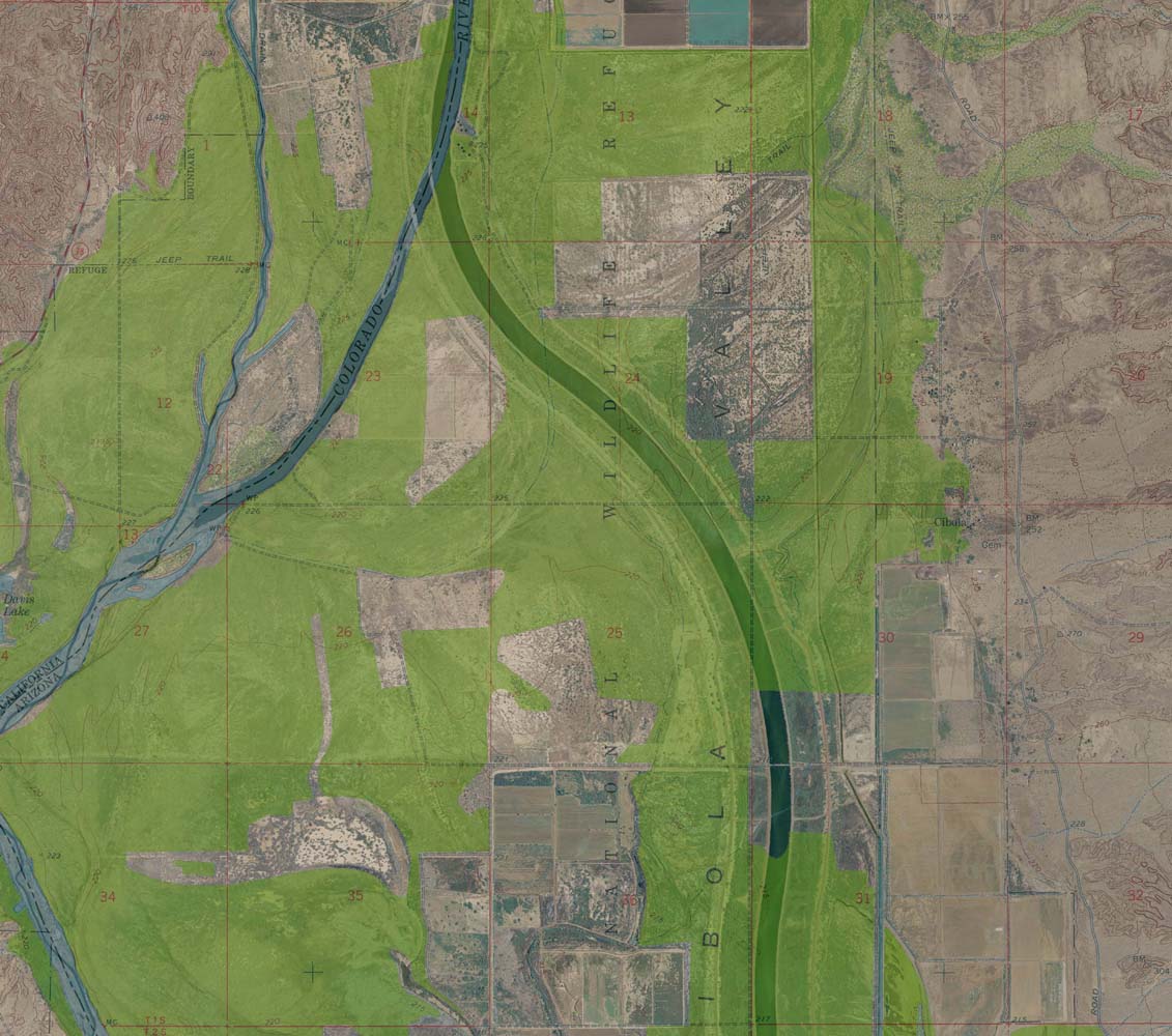
Cibola; CA—GeoChange Map 1961-2010/12
-

Kirtland (SE); NM—GeoChange Map 1964-2014
-

Highland Ranch; CO—GeoChange Map 1964-2011
-

Boise North; ID—GeoChange Map 1971-2013
-

Mt. Rainier East; WA—GeoChange Map 1970-2011
-

Monadnock Mountain; VT, NH—GeoChange Map 1984-2011
-

Copper City, FL—GeoChange Map 1962-2010
-

Gay, MI—GeoChange Map 1951-2012
-

Petersburg, VA—GeoChange Map 1952-2012
-

Fort Ransom, ND—GeoChange Map 1965-2014
-

Bomoseen, VT—GeoChange Map 1944-2014
-

Bonds Corner, CA—GeoChange Map 1953-2012
-

Fox Creek, MT—GeoChange Map 1966-2011
-

Betsy Lake NW, MI—GeoChange Map 1964-2012
-

Pigeon Forge, TN—GeoChange Map 1939-2012