Historic Maps
The W.E. Upjohn Center for the Study of Geographical Change at Western Michigan University has a variety of maps available for purchase, you can also download them on your mobile device using AvenzaMaps. See some of our maps below. By clicking on each thumbnail you will be able to see a small, low quality center section of the map.
our favorite Geochange maps from different states
-

Salton Sink, CA. 1906
-

Palo Alto, CA. 1899
-

Detroit, MI. 1905
-

Fennville, MI. 1931
-

Marquette, MI. 1907
-

Calumet, MI. 1911
-

Kalamazoo, MI. 1918
-

Boston and vicinity, MA. 1903
-

Martha's Vineyard, MA. 1898
-

Provinctown, MA. 1949
-

Philadelphia, PA. 1898
-

Staten Island, NY. NJ.1898
-

Niagara, NY. 1899
-

New Orleans, LA. 1891
-

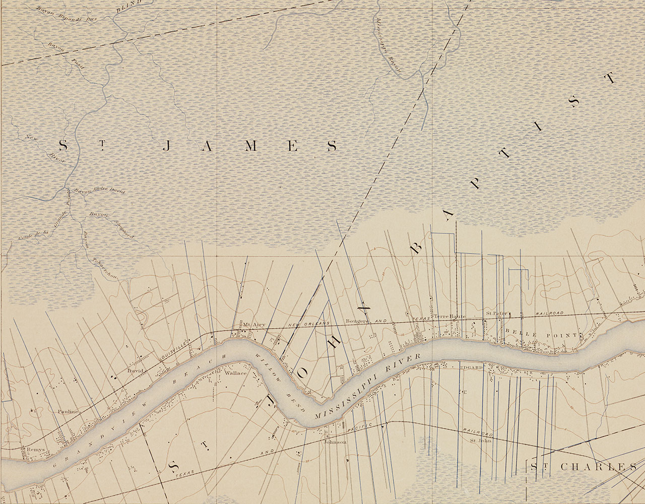
Mt. Airy, LA. 1892
-

Erie, PA. 1900
-

Seattle, WA. 1897
-

Ocean City, MD. 1901