Apply-Explore Call To Action
Stats Grid
90%
of School of Environment, Geography, and Sustainability graduates are working or continuing their education
95%
of School of Environment, Geography, and Sustainability students feel their professors care about them as people.
Pursue a B.S. in geographic information science
As a geographic information science student, you will acquire skills in assembling and interpreting spatial information for cartographic presentation, dashboard development and interactive data analysis to support spatially informed decision-making. In every course, you'll learn from hands-on, project-based coursework that pairs perfectly with research experiences and internships involving remote sensing, unmanned aircraft systems, AI, spatial statistics and more — all as an undergraduate. You'll also think critically about the choices involved in using geospatial techniques to design sustainable and economically resilient communities that balance a thriving population with natural resource management. When you graduate, you'll thrive in a variety of career contexts, including:
- businesses exploring customer and market trends, benchmarking competitors and streamlining supply chains
- research institutions and thought leadership developing technological innovations and real-world applications
- local, state, or federal governments or non-profits seeking evidence-based insights and solutions to society’s toughest questions
What you'll learn
You'll build your capacity to tackle society’s toughest spatial questions. You'll gain a strong technical background in cutting edge technologies relating to both mapping and the geospatial data pipeline, from data acquisition and management to visualization, representation and advanced analysis. A strong theoretical framework in spatial information science will challenge you to pose your own questions and explore the impacts of quantitative geographic analysis, geographic information systems, remote sensing, GeoAI, global navigational satellite systems and local to global decision making.
Student Quote
The experience with technology and tools that I have gained within the School of Environment, Geography, and Sustainability has proved invaluable. Within my classes, we have used the same tools used by industry professionals to solve real-world problems.
Where you'll be after graduation
You'll leave prepared to make decisions that affect your community in real time in local public safety, public health, planning and zoning offices, as well as to provide technical guidance for projects in transportation infrastructure, architecture, civil engineering and survey services. You'll also apply your understanding of environmental resources to conservation agencies, emergency management offices and federal programs.
Many of our alumni go on to receive higher education or certifications such as the Geographic Information Science Professional (GISP) certification and FAA Remote Pilot Certification (drone pilot licensure). Others are working in roles such as:
- GIS specialist for planning and development
- Imagery systems engineer
- County GIS coordinator
- Asset systems administrator
- Environmental planner
- Business operations analyst
- GIS analyst and data scientist
- Project manager for environmental management
- Spatial AI software engineer
What others have achieved
What others have achieved


Making the most of your learning experience
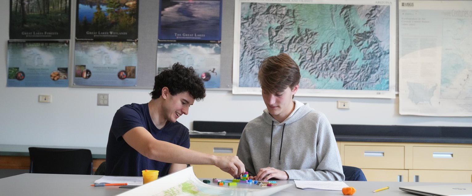
You'll spend significant time exploring data with a variety of methods, including remote sensing, unmanned aircraft systems, AI, and spatial statistics, to create community-based solutions to real world problems. Learn to directly apply your coursework to class projects, internships and research experiences.
What scholarships are available for a geographic information science degree?
As a geographic information science student, you have access to a number of scholarships and awards through both WMU and the School of Environment, Geography, and Sustainability that recognize academic excellence, support research and travel and expand learning through study abroad experiences. The College of Arts and Sciences also offers grants to support research and travel experiences to take your learning further.